For most of the last century, Americans treated wildfire as a Western problem, and mostly a rural one. That assumption is breaking down fast.
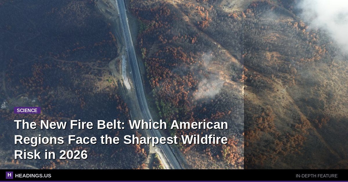
Federal wildland fire data shows that the number of acres burned annually has roughly doubled since the 1990s, and the structures lost per fire have climbed even faster as development pushes into fire-prone terrain. What's changing isn't just how much burns. It's where.
New risk modeling from First Street Foundation, a nonprofit research group whose wildfire scores now feed into real estate listings and insurer decisions, estimates that nearly 80 million U.S. properties carry some wildfire risk. Of those, about 49 million face what the group classifies as moderate to extreme risk — a number that has grown as hotter, drier summers extend the fire season deeper into spring and fall.
The Five Regions Where Risk Is Concentrating
Wildfire danger clusters into distinct zones, each with its own weather pattern, fuel type, and human footprint. Understanding which one you live in matters more than a single national map can convey.
1. California's Wildland-Urban Interface
California remains the epicenter by almost every measure. The state's Department of Forestry and Fire Protection reports that roughly a third of Californians live in what's called the wildland-urban interface — the zone where homes meet vegetation. The 2018 Camp Fire in Paradise killed 85 people and destroyed nearly 19,000 structures, making it the deadliest and most destructive wildfire in state history. More recent fires, including the 2025 Palisades and Eaton fires in Los Angeles County, showed that even dense urban neighborhoods bordering canyons and hillsides are exposed.
What sets California apart is the combination of extreme wind events — the Santa Ana and Diablo winds — with a year-round fire season that no longer respects the old May-to-October calendar.
2. The Pacific Northwest and Northern Rockies
Oregon, Washington, Idaho, and Montana have seen some of the sharpest increases in burned acreage. Oregon's 2020 Labor Day fires burned more than a million acres in a single week and destroyed over 4,000 homes. Idaho and Montana now routinely log fire seasons that stretch from June into October. The fuel here is different from California's chaparral — dense conifer forests that, when they burn, produce longer-lasting smoke events that blanket entire regions.
3. The Southwest and Southern Plains
Arizona, New Mexico, Texas, and Oklahoma are seeing a split pattern: wetter winters that grow grass and brush, followed by hotter, drier summers that turn that growth into fuel. The 2022 Calf Canyon/Hermits Peak Fire in New Mexico became the largest in state history at more than 340,000 acres. Texas, which most people don't associate with wildfire, has recorded some of the largest single fires in U.S. history, including the 2024 Smokehouse Creek Fire at over a million acres.
4. The Southeast
This is the region most often left off wildfire maps, and it may be the most underestimated. Florida, Georgia, South Carolina, and Alabama all have significant fire regimes driven by lightning, drought, and pine plantations. The 2016 Gatlinburg fire in Tennessee killed 14 people and damaged thousands of structures — a reminder that Appalachian communities tucked into wooded valleys face real risk. Florida's wildland fire service conducts more prescribed burns than almost any other state, precisely because its fuel load is so volatile.
5. The Upper Midwest and Northeast Fringe
Even regions with historically low fire activity are seeing new exposure. Minnesota, Wisconsin, and Michigan face spring fire seasons driven by dead grass and dry pine. In 2023, Canadian wildfire smoke pushed air quality alerts across the Northeast and Midwest, and states like New Jersey and Pennsylvania have logged increasingly frequent brush fires during drought years. These aren't the catastrophic crown fires of the West, but they threaten homes, infrastructure, and air quality for millions.
Why the Map Keeps Shifting
Three forces are redrawing the risk map.
The first is heat. The National Oceanic and Atmospheric Administration has documented a steady rise in the number of days each year with high fire danger across most of the country. Warmer nights, in particular, reduce the overnight humidity recovery that once helped firefighters gain ground.
The second is where we build. Census data shows continued population growth in counties adjacent to federal lands and in exurban areas that sit squarely in the wildland-urban interface. Every new home adds an ignition source and a structure to defend.
The third is insurance. Major carriers including State Farm, Allstate, and others have pulled back from California and parts of the Mountain West, while new state-backed insurers of last resort — like California's FAIR Plan — have seen enrollment explode. Premiums in high-risk ZIP codes have risen sharply, and in some cases coverage simply isn't available through traditional markets.
Risk is no longer a Western story. It's a national one, and the financial system is starting to price it that way.
What Homeowners Can Actually Do
Risk is not destiny. Research from the Insurance Institute for Business & Home Safety and the National Fire Protection Association shows that home hardening and defensible space measurably reduce the odds a house ignites.
- Clear the first five feet. Embers, not flames, destroy most homes. Remove mulch, leaves, and anything combustible within five feet of the foundation. Replace it with gravel or hardscape.
- Screen vents and eaves. Embers enter through attic vents and crawl spaces. Install 1/8-inch metal mesh screening, which blocks the smallest embers.
- Thin vegetation in zones. Keep grass short within 30 feet, reduce shrubs and ladder fuels from 30 to 100 feet, and space trees so fire can't climb from ground to canopy.
- Harden the roof and deck. Class A roofing and noncombustible deck materials are the single biggest structural upgrades you can make.
- Check your insurance before fire season. Confirm your policy covers replacement cost, not just market value, and ask specifically about wildfire exclusions.
- Know your evacuation route. Sign up for local emergency alerts and identify two ways out of your neighborhood.